Geomatics
Geomatics forms part of the services provided by GIBB (Mauritius) Ltd. The firm possesses in-house qualified personnel and has invested massively in modern surveying instruments and software to carry out a wide range of land and marine surveys to cater for the ever increasing level of service required by Clients for engineering and cadastral survey projects.
Areas of expertise in the field of Geomatics include:
- Land and Hydrographic Surveying
- Mapping and Positioning
- Mapping and Positioning
- Property Development and Land Parcelling
- Cadastre and Land Searches
- Boundary survey and fixing
- Spatial Data Manipulation
- Coastal Surveying
- Project Management
- GPS and GIS systems
- Wayleave and Land Acquisition Surveys
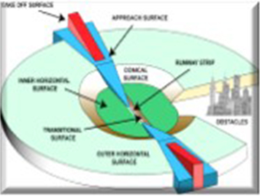
- Obstacles Limitation Surfaces (OLS) Surveys.
CAD Surveys and Mapping
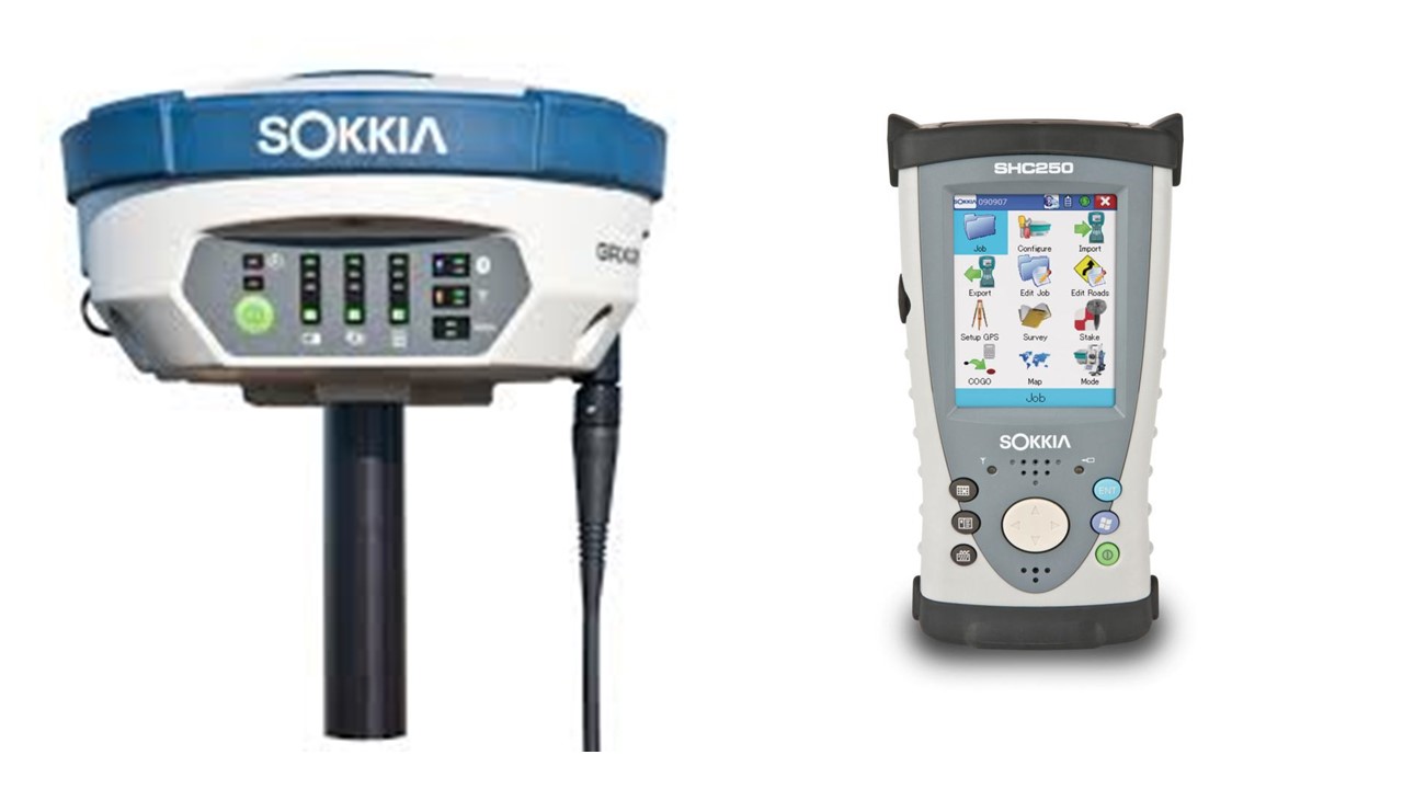
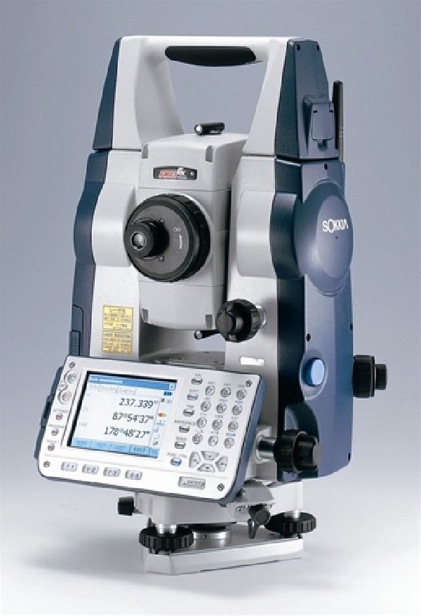
With the state-of-art land surveying equipment coupled with the survey and civil software we possess in-house, our surveyors work with a composite team of design, geotechnical, environmental and civil engineers offer a comprehensive range of services in the field of Geomatics at various stages of property development and engineering projects.
We have provided land surveying services to various ministries, authorities, private sector firms and individuals in Mauritius, Seychelles, Rodrigues and Agalega.
Our expertise in Geomatics covers a broad spectrum of services ranging from preliminary surveys during conceptual design/master planning stages to precise setting out works during construction stage.
A selection of major survey works undertaken by the firm is listed overleaf.
Selected major survey works undertaken by GIBB:
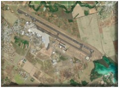
- SSR International Airport – Obstacles Limitation Surfaces
- Surveys, Runway Extension and Overlay
- Praslin Sewerage Facilities – Topographical and Cadastral
- Surveys in Seychelles
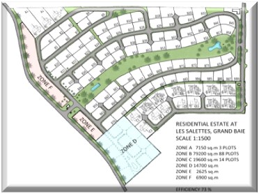
- Grand Baie Sewerage Project – Topographical and Wayleave Surveys
- Phoenix–Beaux Songes Link Road – Establishment of Control Points, Topographical Surveys and Land Acquisition Drawings
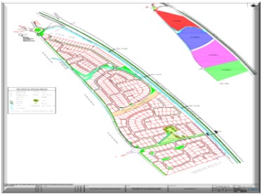
- Various Morcellement Projects – Topographical Surveys and Land Subdivision, Roads and Drainage Design
- Le Morne Brabant IRS – Cadastral & Topographical Surveys and Setting Out of plots/boundary stones, villas and roads
- Coal Fired Power Plant at Albion – Cadastral & Topographical Surveys of Power Plant Site and Setting Out Works for Geotechnical Investigations
- Ebène - Terre Rouge Road – Topographical & Land Acquisition Surveys and Setting Out Works for Geotechnical Investigations
- Trianon-Grosses Roches Feeder Canal-Topographical, Cadastral and Wayleave Surveys
- Preparation of DTM from Digital Globe Quickbird Satellite Imagery for Marianne Island, Seychelles
- Emerald Villas Real Estate Scheme – Land Subdivision Masterplanning, Cadastral & Topographical Surveys, Engineering Surveys and Setting Out works over 20 hectares of land at Mare Anguilles
- Additional Villas for Oberoi Hotel, Baie aux Tortues – Cadastral and Topographical Surveys
- Cliffs of Macondé Property Holdings Ltd – Cadastral and Topographical Surveys, Engineering Surveys and Setting Out for upmarket villas and a hotel at Macondé
- Emtel Network Expansion Programme – Topographical and Cadastral Surveys for some 100 New Stations, DCA Surveys and Wayleave Acquisition for some 125km of Optical Fibre Backbone Network Route
- Northern Plains Irrigation Projects – Phase II – Cadastral Checks & Topographical surveys of some 1400 hectares of Agricultural Land and Piperoute determination and profiling in the Northern Plains
- Power Transmission Line survey at La Chaumière – Cadastral & Topographical Surveys of about 5 km of transmission line corridor for the power plant project at Pointe aux Caves
- Masterplanning and EIA for 25 hectares of land to be developed for residential purposes for the Rose Belle Sugar Estate Board at Camp Bouvet
- Topographical and Land Acquisition surveys for Wastewater Management Authority for the Grand Baie Sewerage Project Phase II. Project area: 1200 hectares
- LHPDL Ltd Grand Baie – Residential Morcellement Project over some 17 hectares of land at Grand Baie. Services include topographic surveys, preparation of masterplan for proposed morcellement, setting out of boundary stones and preparation of survey reports.